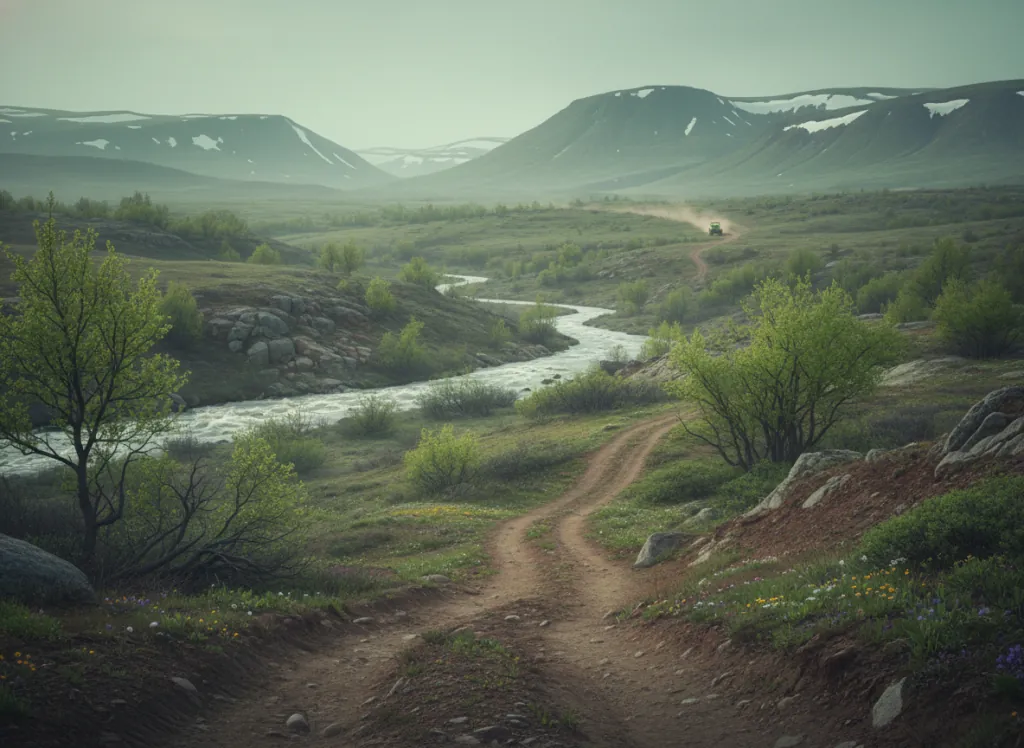
The Helena-Lewis and Clark National Forest encompasses 2.9 million acres of the Montana Continental Divide country in Lewis and Clark, Jefferson, Broadwater, Cascade, Judith Basin, Fergus, Meagher, and Teton counties, a geographically dispersed national forest divided into the Helena Unit (surrounding the state capital) and the Lewis and Clark Unit (extending north toward Great Falls) that together provide OHV access to the mountain terrain flanking Montana's governmental and cultural center. The Helena OHV system centers on the designated trails in the Elkhorn Mountains south of Helena and the Big Belt Mountains to the east, the two ranges that frame the Helena Valley and give Montana's capital its dramatic mountain backdrop. The Elkhorn Mountains are a compact subrange of the Continental Divide with a distinct geological character: the range is dominated by granite plutons and metamorphic rock that produce rocky, rooted trail surfaces on the OHV routes, with the ghost towns of Elkhorn and Marysville representing the silver mining legacy that drove the region's 19th-century development. The Big Belt Mountains to the east provide a different riding character: more open, drier, and less forested than the Elkhorns, with the wide canyon country of the Smith River watershed defining the eastern landscape. Helena serves as the staging hub with full-service infrastructure. ATVs, UTVs, and dirt bikes on designated routes; full-size 4x4 trucks on appropriate forest roads. Montana OHV registration required. Helena Ranger District (406-449-5201) manages current OHV trail conditions and issues seasonal closure updates for the Elkhorn and Big Belt districts.
Hours
Accessible approximately May through November; higher-elevation Elkhorn and Big Belt routes close under snow. No day-use fee. Montana OHV registration required.
Phone
406-449-5201Trip openings, seasonal updates, and the occasional deal, straight to your inbox.
FAQ
Everything you need to know before you get started.
Have a question, or ready to book? Reach out and we’ll get right back to you.